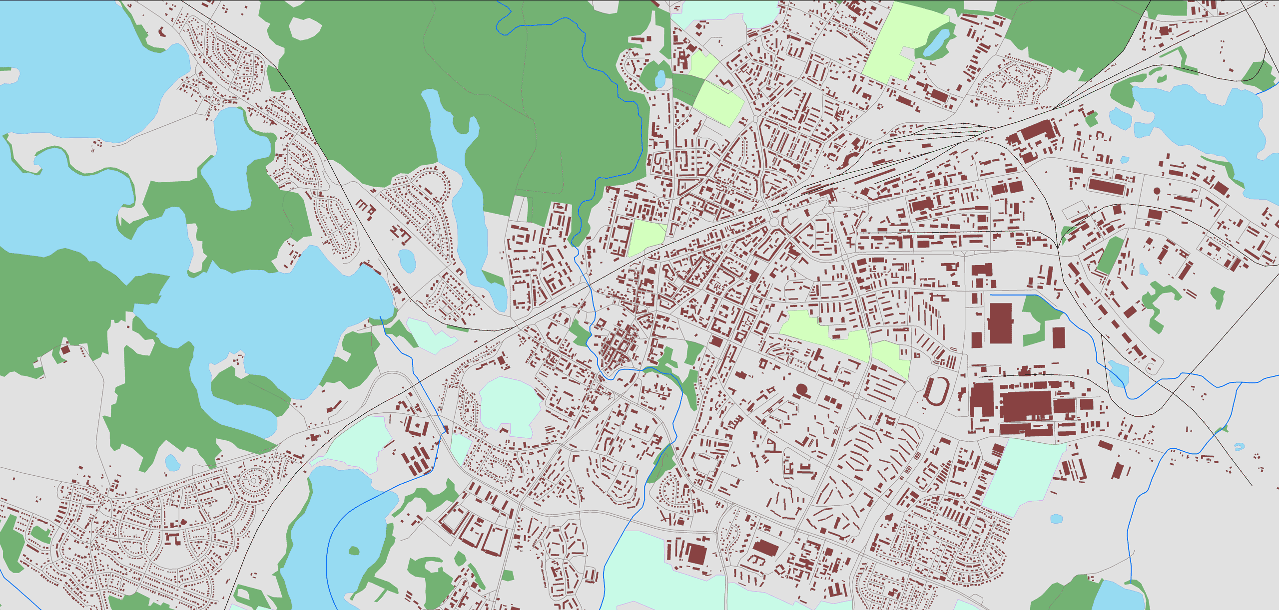
GIS vector databases are our original product, which has many applications, including: in the most popular satellite car navigation system on the Polish market, AutoMapa®, and the Targeo® map portal.
Our vector databases are used in activities related to geomarketing, spatial planning, crisis management, design and maintenance of infrastructure facilities, as well as in many other areas.
GIS vector data is used to represent discrete objects with clear boundaries. A very important feature of this type of data is the association of a geometric object (point, line or polygon) with attribute information contained in a linked attribute table. Each row represents a single feature on the map, and the columns describe its attributes.
We offer vector data in the form of shapefiles or geodatabases. We created the databases in the National Geodetic Coordinate System 1992 and territorially they cover the entire territory of Poland.
GIS vector data for individual needs
In response to customer needs, it is possible to convert our GIS databases to virtually any spatial vector database format. The coordinate system in which the database will be delivered is also arbitrary. Each of the layers described above can be an independent product. Attributes of individual layers are also subject to adjustment, the selection of which is always consulted with the ordering party. Selecting objects of a specific category within layers also allows you to adapt the product to individual requirements.
Road network map
It includes numbered roads, city streets, paved and dirt roads. The layer contains an extensive table of nearly 40 attributes. It is a database adapted for network analyzes equipped with all the information necessary for setting routes and routing.
Railway network map
With basic information about the route category (single-track, double-track, multi-track, electrified, narrow-gauge).
Map of administrative divisions
Valid as of the order date in three-level division: voivodeships, poviats, communes (districts) with full tabular information for each division level.
City database
It contains, apart from their geographical location, also rich tabular information such as statistical code, category and population. The database covers over 90,000 towns.
Address points
This is the most accurate address database in Poland. It includes complete address information in cities. The address is assigned to a point – the actual location of the building, and not to a numbering range. It is possible to provide a geocoding service based on the address database.
Postal code database
Presented in the form of ranges (polygons) and in the form of points presenting the centers of gravity of postal code zone polygons.
Hydrographic network
Polygon and linear representation of watercourses and reservoirs with name attribute. Developed on the basis of topographic maps, it has been detailed for many years based on satellite imagery and aerial photos.
What you’re looking for isn’t on the list? Ask about other GIS vector data, we have a number of resources not listed here, or we will develop them for you.
