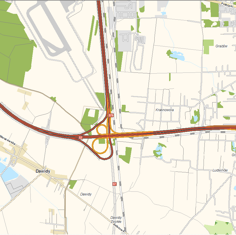
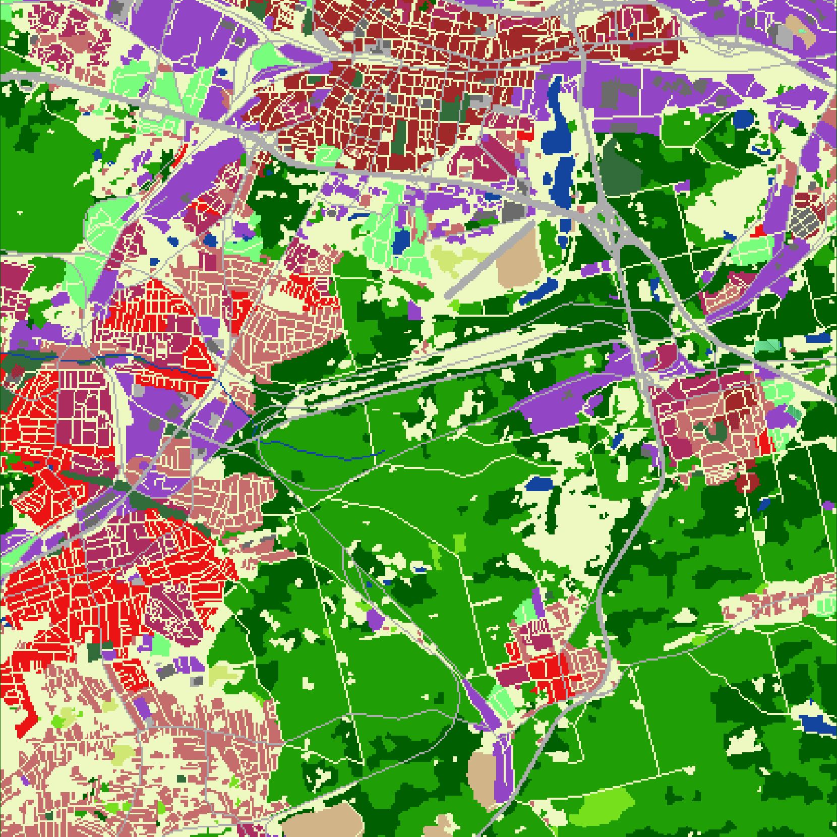
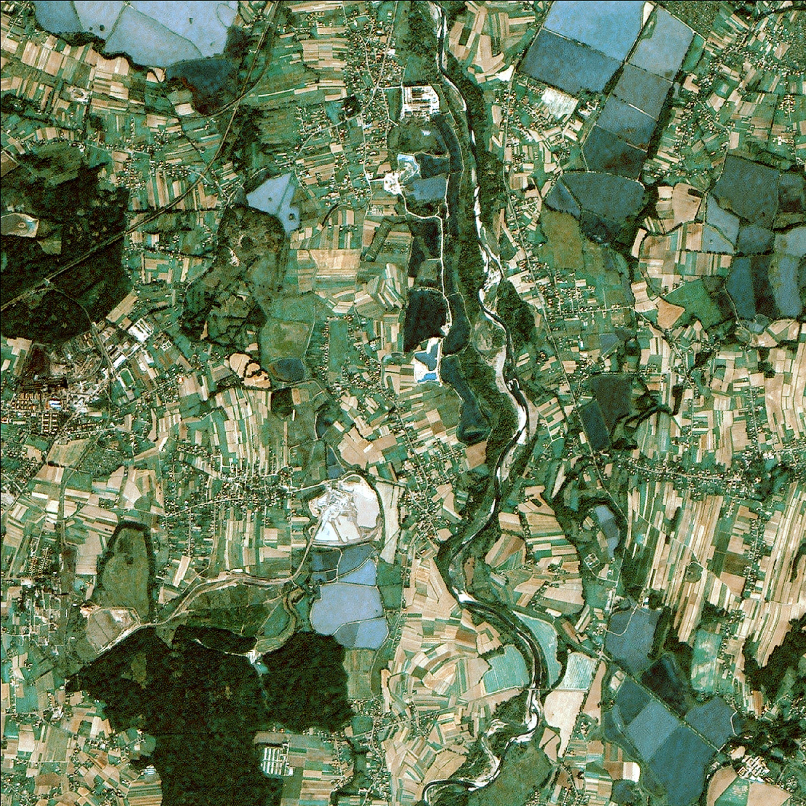
GIS spatial data
GEOSYSTEMS Polska offers spatial data constituting a vector map base and a comprehensive source of information about Poland.
The spatial data resource has been created since the beginning of the existence of GEOSYSTEMS Polska, supplemented and updated on the basis of satellite and photogrammetric imagery, also based on field measurements. The detail and accuracy of this data corresponds to cartographic studies on a scale of 1:5 000 for cities and 1:20 000 outside cities. Over time, the profile of the company’s services has changed and currently we do not update all databases.