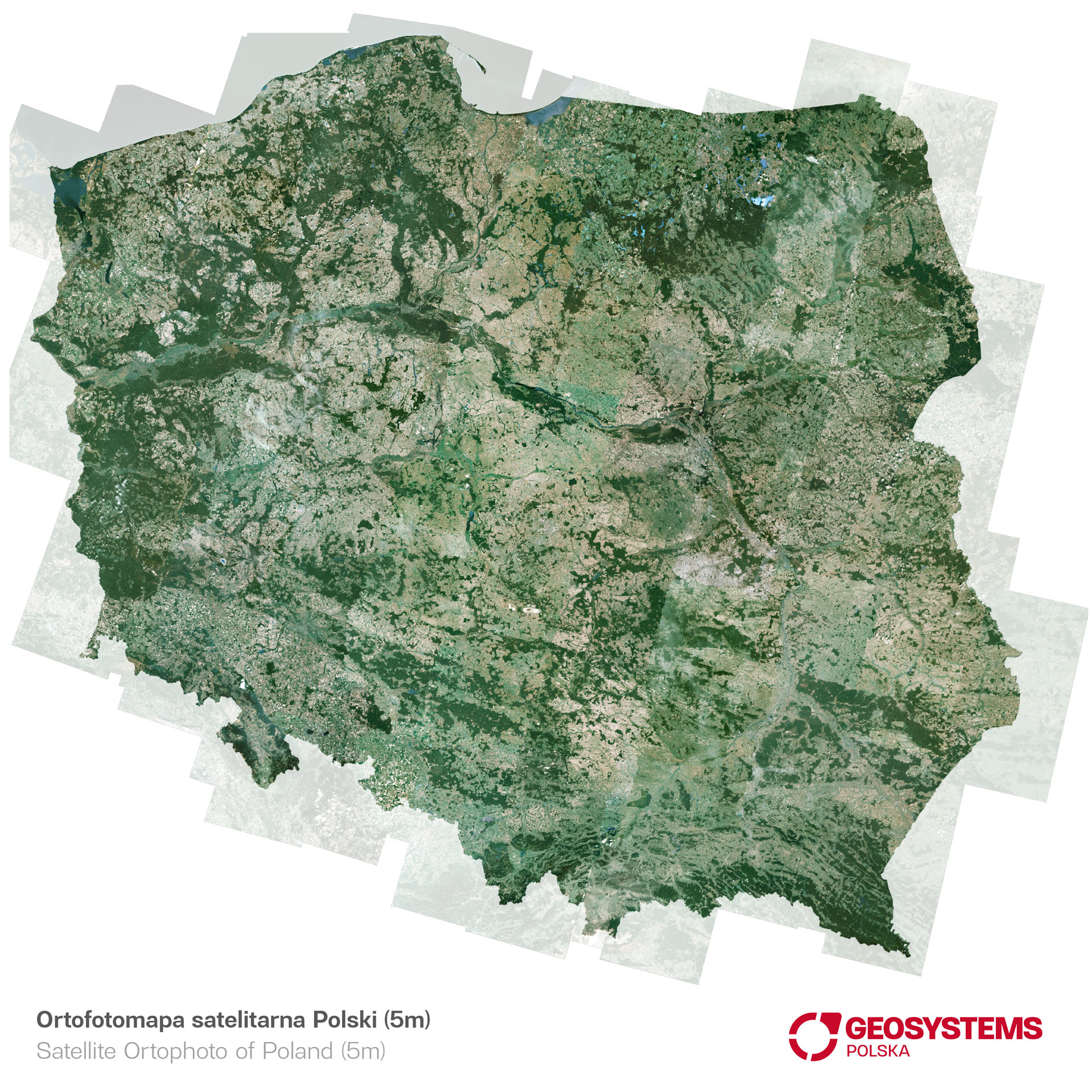
This resource was made from images of the Indian IRS-P6 Resourcesat satellite.
It was developed on the basis of cloud-free and radiometrically matched IRS-P6 images, orthorectified with high geometric accuracy and combined into one coherent orthomosaic.
High resolution and processing accuracy, combined with homogeneity for the entire coverage area, make this resource a valuable source of data for studies at scales of 1: 25,000 and smaller. The data is valid for the years 2006-2007.
This is the first product on the market that enables consistent, detailed spatial analyzes for any large areas within the country. Coverage for Poland is part of the resource created for Europe, which is important when implementing cross-border projects.
The orthophotomap of Poland 5m is an innovative tool that allows you to make accurate, knowledge-based decisions in many areas of the economy and administration.
This is an excellent material for long-term analyzes of spatial changes of all types!