Imaging aerostat – first tests
MicaSense Altum camera tests on an aerostat.
A tethered aerostat is a relatively unpopular type of unmanned aircraft, especially in remote sensing applications. However, compared to the much more common drones here, it has a number of advantages. One of them is the lack of power requirement, which allows it to have virtually unlimited flight time, depending on weather conditions.
These and other features of the aerostat can be successfully used in remote sensing or image monitoring. We are in the process of implementing just such a project. We are pleased to announce that we have successfully conducted the first operational tests of the prototype of the imaging system installed on this type of UAV platform.
The tests were carried out on September 28, 2021 at KEZO in Jabłonna near Warsaw. The test flights took place in the early afternoon (12-4 p.m.), with favorable weather conditions: moderate middle and high cloud cover (Ac/Cc/Cs), average air temperature of 9.2°C and low wind speed (2 m/ s) from the WWS direction.

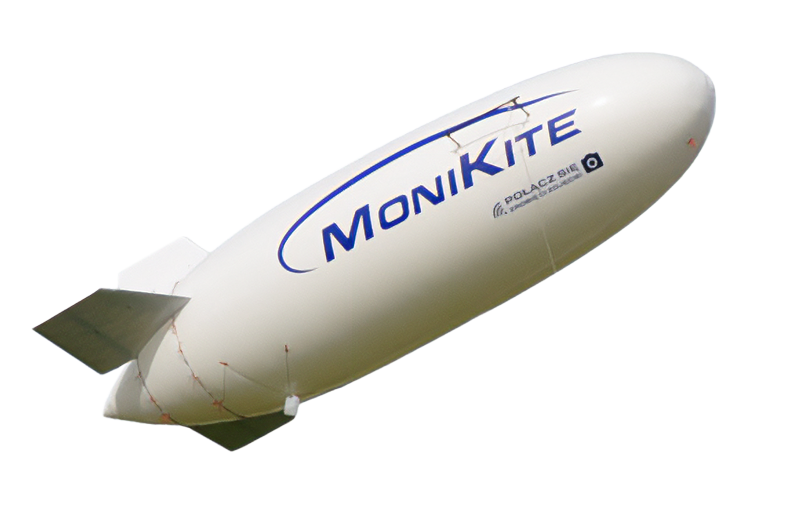
MoniKite™ Aerostat
MoniKite-105 (MK-105) is an ultra-light tethered aerostat capable of reaching a maximum height of H = 300 meters (operating ceiling) and a lifting capacity of up to 8 kg. MK-105 has dimensions: length 10.5 m, diameter max. 2.6 m and is made as a shell structure without additional stiffeners, only in the places where the stabilizers are attached there are rod frames attached to the outer side of the shell. Its total volume is 39 m3. It is equipped with three fins in a classic arrangement, i.e. one vertical and two horizontal, and with an innovative articulated suspension enabling the aerostat to set optimal angles of attack (maximum lifting force with minimum aerodynamic drag). This solution allows the aerostat to be kept in a minimally tilted position from the vertical, i.e. up to approx. 20° in medium winds (up to approx. 15 m/s). The MK-105 is held in the air using a Kevlar rope with a strength of 2100 daN.
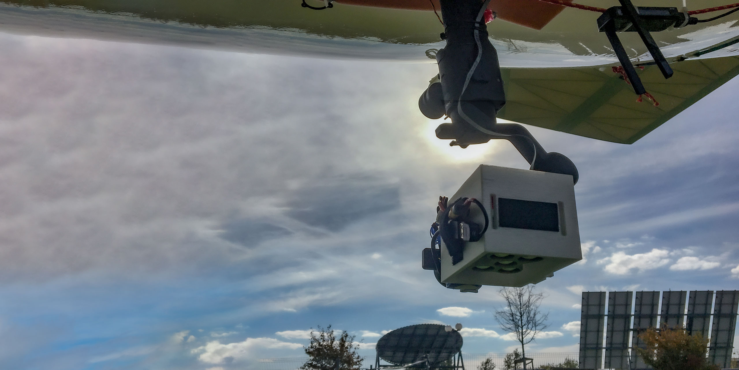
To carry out the tasks related to obtaining remote sensing images from the aerostat ceiling, a miniature MicaSense Altum multispectral camera was chosen. The camera records images in six spectral ranges, including the thermal infrared range.
Due to the deflection of the aerostat, the camera was mounted on a gyroscopic tilt arm, the so-called gimbal. The DJI Ronin SC gimbal was used for testing along with a dedicated base enabling the system to be mounted to the ship’s shell. The camera is also equipped with a dedicated housing (3D print), external power supply and the so-called Wi-Fi repeater ensuring communication with the ground control computer.
All test procedures were successful. The aerostat with the imaging system collected an extensive set of high-quality data during two ascents, which we subjected to preliminary post-production and verification. The Altum multispectral camera is a high-quality device that allows you to obtain radiometrically and geometrically reliable images. Below we present sample color compositions of orthoimages acquired during tests.
These experiences are collected as part of some of the activities carried out in the NCBiR research program, TANGO 4, titled Adaptive aerostats, mounted on an SDT (Self Deployable Tensegrity) support structure, as a platform for multi-topic monitoring of the Earth’s surface (Aero-SDT). The work is carried out by a R&D consortium led by the Institute of Fundamental Technological Research of the Polish Academy of Sciences, and the technological partners of ADAPTRONICA Sp. z o.o. and GEOSYSTEMS Polska Sp. z o.o.
See also: GeoBalloon.


